SAR Peterborough West
From TrainzOnline
(Difference between revisions)
m |
m |
||
| Line 30: | Line 30: | ||
<table> | <table> | ||
<tr valign="top"> | <tr valign="top"> | ||
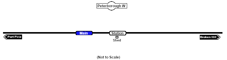
| − | <td | + | <td>[[image:SAR_Peterborough_West.png|link=|alt=Peterborough West map]]</td> |
</tr> | </tr> | ||
<tr valign="top"> | <tr valign="top"> | ||
| − | <td> | + | <td align="center"><span style="font-weight: 700;">Peterborough West is a location added to <span style="color: blue;">SAR Peterborough Narrow Gauge Division v2.0</span></span></td> |
</tr> | </tr> | ||
</table> | </table> | ||
Latest revision as of 07:14, 30 March 2024
|
 |