Avery-Drexel
A Brief History
In 1906, the Chicago Milwaukee and St. Paul Railroad started construction of its transcontinental mainline, also known as the 'Puget Sound Extension'.
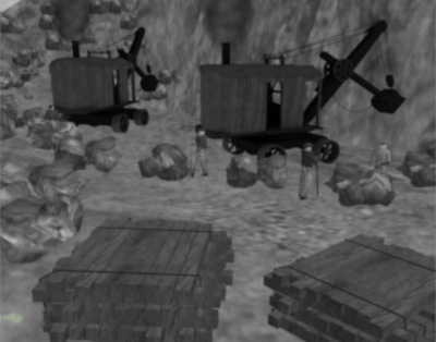
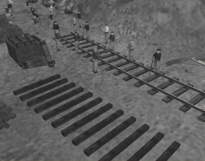
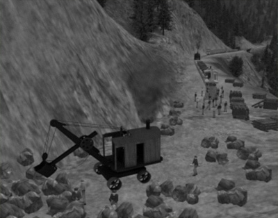
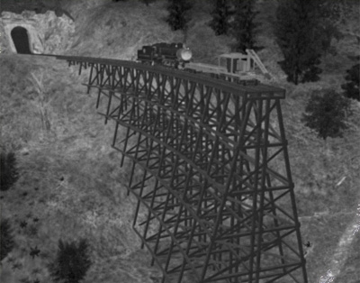
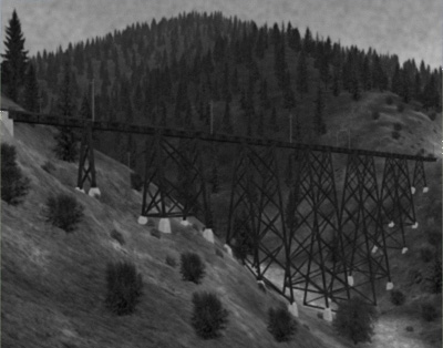
In 1908, the construction reached the Bitterroot Mountains. The management did everything to get the tracks laid very quickly. The visible steel parts of the Kelly Creek Trestle had been built in only one month's time from December 1908 to January 1909, after the concrete foundations had been built by the excavation crews. Tons of explosive powder, steam operated cranes and big shovels had been used by the construction crews to build the Railroad into the steep mountainous terrain.
Four steel trestles, eighteen tunnels, numerous wooden trestles and many rock cuts were required to keep the grade of the track to below 1.7%.
After three years of construction, the last transcontinental mainline of the United States opened in 1909.
After a terrible forest burn in 1910, all of the wooden trestles had to be replaced either by steel trestles or large sluice embankments.
The transcontinental passenger service between Chicago and Tacoma opened in 1911.
Forced by the competition of other Railroads and the Panama Canal, the Milwaukee Road's management decided to change from Steam to Electric train operation in the Rocky Mountains.
In 1917, the Milwaukee Road opened it's electrification between Harlowton, Montana and Avery, Idaho, a distance of 438 miles.
The electrification of the transcontinental mainline in the Cascade Mountains between Othello and Tacoma, Washington State opened in 1919. Although planned, the gap between Avery and Othello was never electrified.
With electrification increasing both train speed and transportation capacity, the Milwaukee Road became the worlds most modern and most capable Railroad of this time.
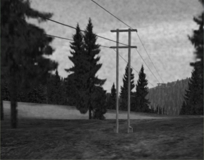
High voltage power lines supplied AC current at 110kV to the substations along the line, where it was converted to 3kV DC for the overhead wires using large transformers and huge motor generator sets.
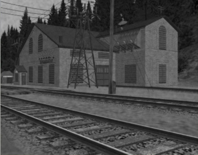
Equipped with three motor generators of 2kW capacity each, Substation No 13 at Eastportal was Milwaukee Road's largest and most powerful substation until 1955, as Substation No 6 at Janney had been upgraded to supply more power for Pipestone Pass.
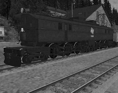
The first Boxcab electrics were delivered by ALCo and GE in 1915. The 42 units were initially permanently coupled in pairs, but were later re-formed to make sets of 3 and 4 locos.
In 1919, General Electric delivered the EP2 class Bi-Polar locomotives to the Milwaukee Road, assigned for the passenger service in the Cascade Mountains. Because of its spectacular design, the Bi-Polar soon became one of the worlds famous electric locomotives.
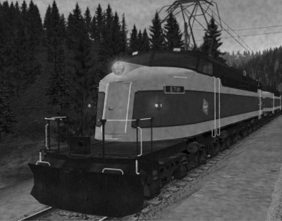
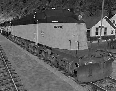
In 1921 another ten Electric locomotives were delivered by Baldwin and Westinghouse for passenger service in the Rocky Mountains.
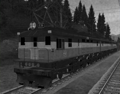
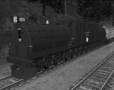
In 1950, the Milwaukee Road bought twelve 2-D+D-2 locomotives originally built for the Soviet Union. The EF4s, called Little Joes, became the most powerful and most reliable single locomotive at the Milwaukee Road and dominated the freight service until the end of the electrification in the Rocky Mountains in April 1974. During the first decades, the EF4s had been formed as tandem units coupled permanently together. These tandem units provided over 11,000 HP and carried the freight trains between Harlowton, Montana and Avery, Idaho supported by Boxcab helpers at only the steepest parts of the line. During the last years of electrification, the EF4s had been upgraded with multiple unit train control to work in multiple with the diesel locos that hauled the trains on other parts of the route. The diesel locomotives remained on the train, and were controlled by either single or tandem Little Joes.
Due to competition from road traffic, all the Railroads lost customer orders during the 1960s and 1970s. As a result of this and several other factors, including the management decision to abandon the electrification in favour of using diesel locomotives throughout, the Milwaukee Road came into more and more economic difficulties.
The expense of dieselization rose higher than anticipated even higher than the required modernization of the electrical equipment had been calculated. The oil crisis of the mid 1970s made matters worse, and the Milwaukee Road eventually abandoned its transcontinental mainline in 1980, and was taken over by the SOO Line in 1985.
About the Simulation
This Trainz Simulator route represents one of the most spectacular and famous portions of the Milwaukee Road's transcontinental mainline. It is now used as a bike trail. The route includes the area from Drexel, Montana to the east all the way to Avery, Idaho to the southwest. The Milwaukee Road went through this corridor using about 44 miles of mainline track. In addition to this, the simulation also includes about 45 miles of the Northern Pacific Lookout Pass line from Haugan, Montana as far as Mullan, Idaho, situated a few miles west of Lookout Pass. This creates an area of about 538 square miles.
The area has been changed during the many years of Railroad operation and even thereafter. The route is represented at the beginning of the 1970s, just as the construction of Interstate 90 had reached Taft, Montana to substitute the old highway 10. These were also been the last years of Milwaukee Road's electrification. This route has been created by TUME using the terrain only route provided by MILW. The route contains over 1000 items. Most of it has been made especially to support full season change functionality at this route.
Great Thanks to all people who have made this route possible with their excellent support and help. Lots of photo and map research was necessary to collect all the information needed to create this route as realistically as possible. This includes investigations into the area, the track and road layout, and the history of the surrounding towns. In particular, researching the specific buildings and structures of the area, such as depots and electrical substations, the bridges, maintenance and trackside buildings as well as the town of Mullan, Idaho, were all important parts of maintaining that realism. My thanks goes out to all the people how have made helped with my research in the Milwaukee Road line, in particular those who have freely published their own photos and information on the World Wide Web.

